Email: james@mapmogul.com
Web site: https://www.mapmogul.com/
|
|
Tel: +44 (0) 7764 165300 - Order by Phone / Online Email: james@mapmogul.com Web site: https://www.mapmogul.com/ |
|
Code: 78558
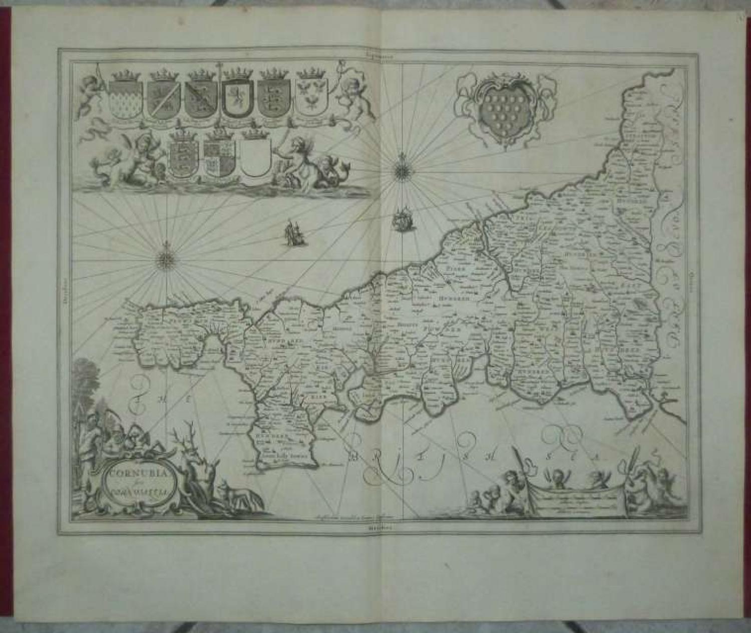
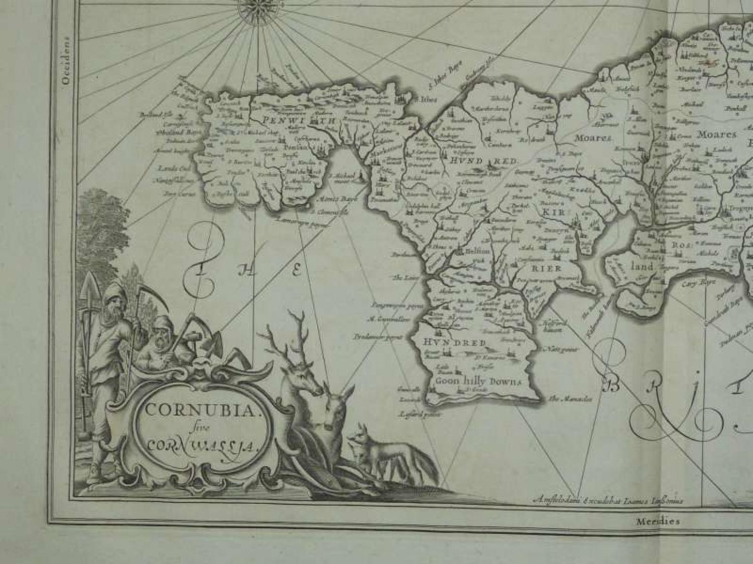
Title: 'Cornubia, sive Corwallia'.
A striking and highly detailed copper engraved map of Cornwall, an English peninsula bordered to the north and west by the Celtic Sea, to the south by the English Channel, and to the east by the county of Devon, over the River Tamar. The map gives several details concerning cites, villages, rivers, forests and is adorned with a strapwork title cartouche embellished with farmers, several trees, two deers and two foxes. The map shows three galleons, two compass roses radiating rhumb lines, a large armorial to top centre, two cherubs, four mairmaids, 9 gently armorials and another drape-style cartouche including two scales of distance adorned by cherubs and mairmaids.
Jansson began to prepare his volume devoted to the British Isles c.1640. In 1644 he published eleven county maps in an appendix to the "Atlas", ut they appeared from 1646 in the "Novus Atlas". Jansson's county maps are seen far less frequently than those of his rival Blaeu, but are similar in appearance with coats of arms and decorative title cartouches. Jansson, like Blaeu, used Speed maps when creating his own thus showing hundreds but no roads. However, Jansson (and Blaeu) chose to omit Speed's innovative town plans.
Condition: Very strong and dark impression on good paper. Paper with chains and wiremarks. Uncoloured as issued. Wide margins. Small amount of foxing.
Mapmaker: Jan Jansson or Johannes Janssonius (1588 - 1664) was born in Arnhem, Holland. He was the son of a printer and bookseller and in 1612 married into the cartographically prominent Hondius family. Following his marriage he moved to Amsterdam where he worked as a book publisher. It was not until 1616 that Jansson produced his first maps, most of which were heavily influenced by Blaeu. In the mid 1630s Jansson partnered with his brother-in-law, Henricus Hondius, to produce his important work, the eleven volume Atlas Major. About this time, Jansson's name also begins to appear on Hondius reissues of notable Mercator/Hondius atlases. Jansson's last major work was his issue of the 1646 full edition of Jansson's English Country Maps. Following Jansson's death in 1664 the company was taken over by Jansson's brother-in-law Waesberg.