Tel: +44 (0) 7764 165300 - Order by Phone / Online Email: james@mapmogul.com Web site: https://www.mapmogul.com/
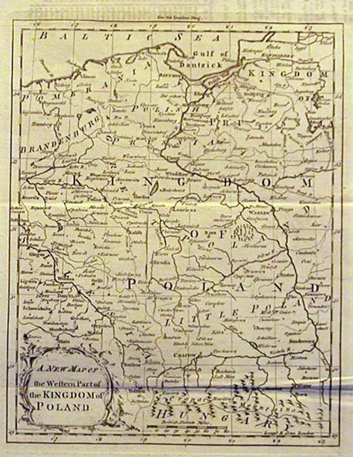
SOLD A new map of the western part of the Kingdom of Poland
SOLD
Code: 77606
SOLD
Date: 1766
Condition: AA
Colour: BW
Size (cm): 22.5cm x 17.7 cm
Title: A new map of the western part of the Kingdom of Poland
Publication: The London Magazine, VOL: XXXV for the year 1766
A map of Poland between the rivers Oder and Vistula and between the Baltic in the north and the Carpathian Mountains in the south. Folds as given. A little offsetting in the top margin not affecting image.