Tel: +44 (0) 7764 165300 - Order by Phone / Online Email: james@mapmogul.com Web site: https://www.mapmogul.com/
SOLD Litauen plates 48, 49, 50, 51
SOLD
Code: 77601
SOLD
Date: 1789
Condition: AA
Colour: BW
Size (cm): 23 x 29 each
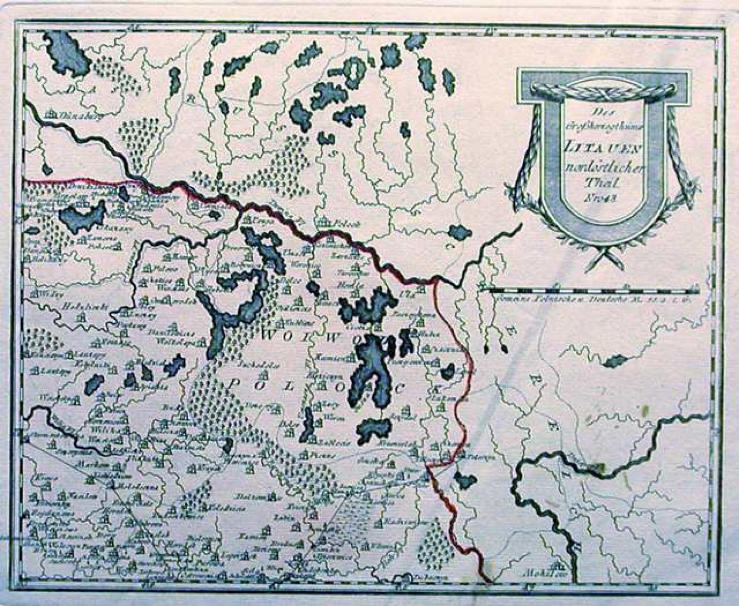
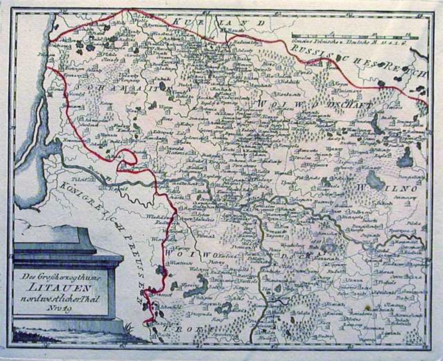
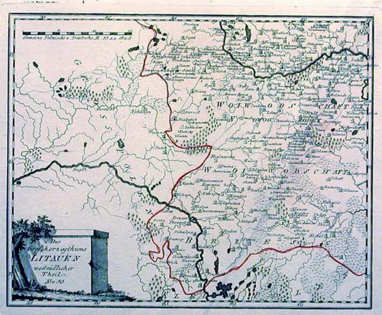
Title: Litauen
Map 1. Des Grosherzogthums Litauen ostsudlicher Theil. Nro. 47 (clean & bright)
Map 2. Des Grosherzogthums Litauen nordostlicher Theil. Nro. 48 (a few small stains)
Map 3. Des Grosherzogthums Litauen nordwestlicher Theil. Nro. 49 (clean & bright)
Map 4. Des Grosherzogthums Litauen westsudlicher Theil. Nro. 50 (clean & bright)
A detailed map of the Grand Duchy of Lithuania which then included most of Belarus
Conjoined would make a large map of 46cm x 58cm in size.
Rare to find all four sections together