Tel: +44 (0) 7764 165300 - Order by Phone / Online Email: james@mapmogul.com Web site: https://www.mapmogul.com/
SOLD An accurate map of the counties twenty five miles round London
SOLD
Code: 77385
SOLD
Date: 1766
Condition: AAA
Colour: BW
Size (cm): 36.8 cm x 41.8 cm
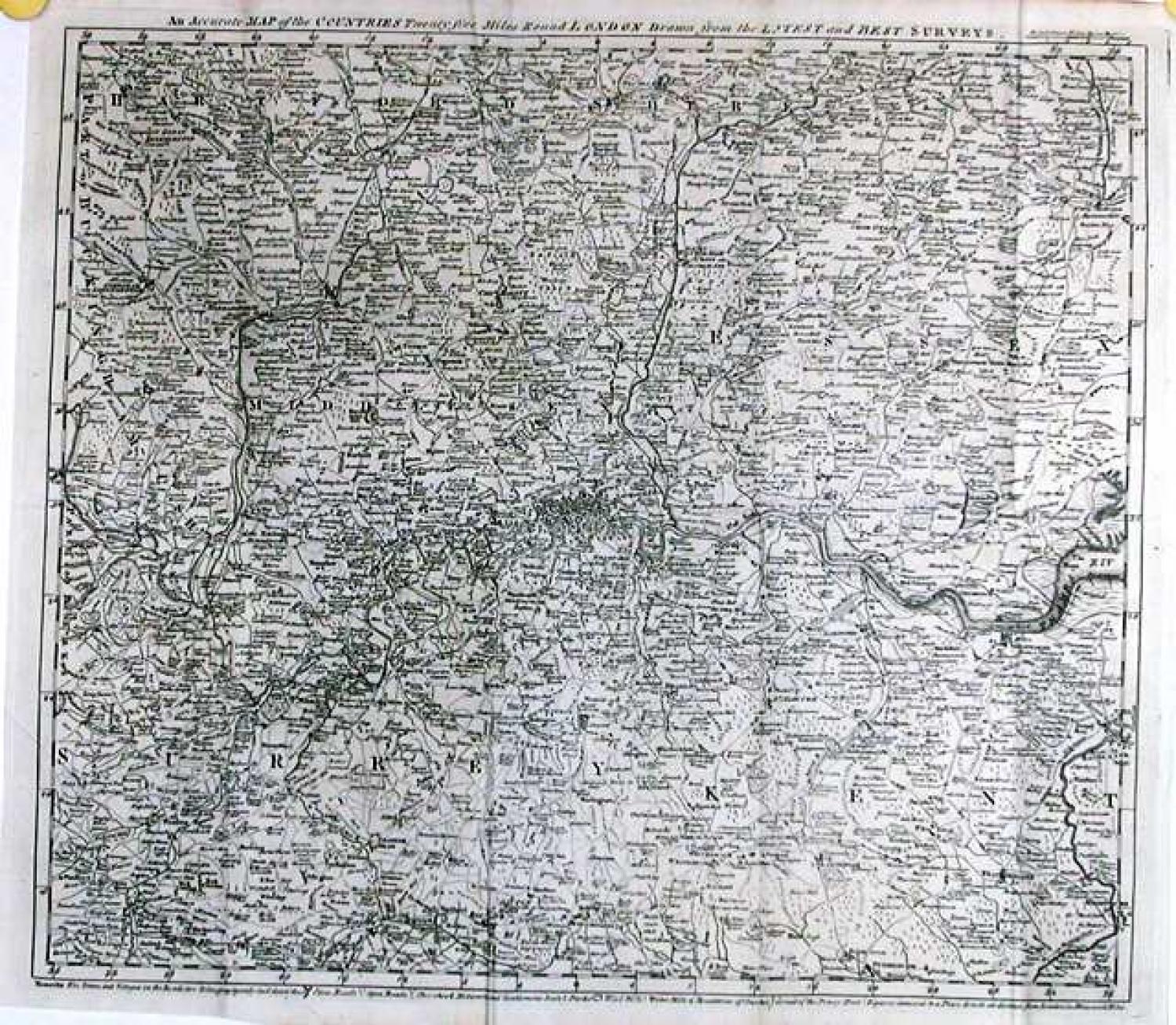
Title: An accurate map of the counties twenty five miles round London drawn from the latest and best surveys.
Publication: The London Magazine, VOL: XXXV for the year 1766
A map of the environs of London stretching from Tring and Waltham Abbey, in the north, to Guilford and Maidstone, in the south. Amongst a wealth of detail are shown, the circuit of the penny post, county boundaries, wind & water mills, 'noblemens and gentlemens' seats, and a network of primary, secondary and tertiary roads.