Tel: +44 (0) 7764 165300 - Order by Phone / Online Email: james@mapmogul.com Web site: https://www.mapmogul.com/
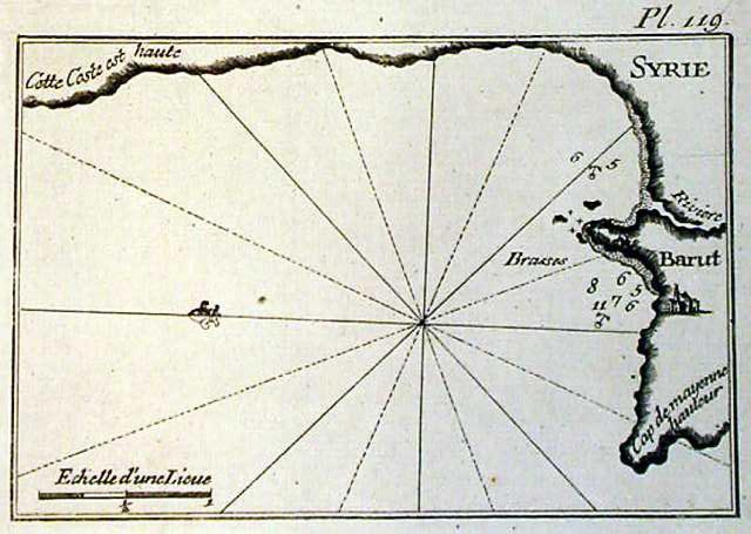
SOLD Syrie, Barut
SOLD
Code: 77346
SOLD
Date: 1764
Condition: AAA
Colour: Uncoloured
Size: 19.0 x 12.8 cm
Publication : Recueil des principaux plans des ports et rades de la Mer Mediterranee
This sea chart (printed on thick paper for use at sea), shows the coast around Beirut in the Lebanon. The chart shows depth soundings and anchorage points.
Plate 119