Tel: +44 (0) 7764 165300 - Order by Phone / Online Email: james@mapmogul.com Web site: https://www.mapmogul.com/
SOLD Magni Ducatus Lithuaniae
SOLD
Code: 76945
SOLD
Date: 1636
Condition: AAA
Colouring: OC
Size (cm): 43.7x54.3
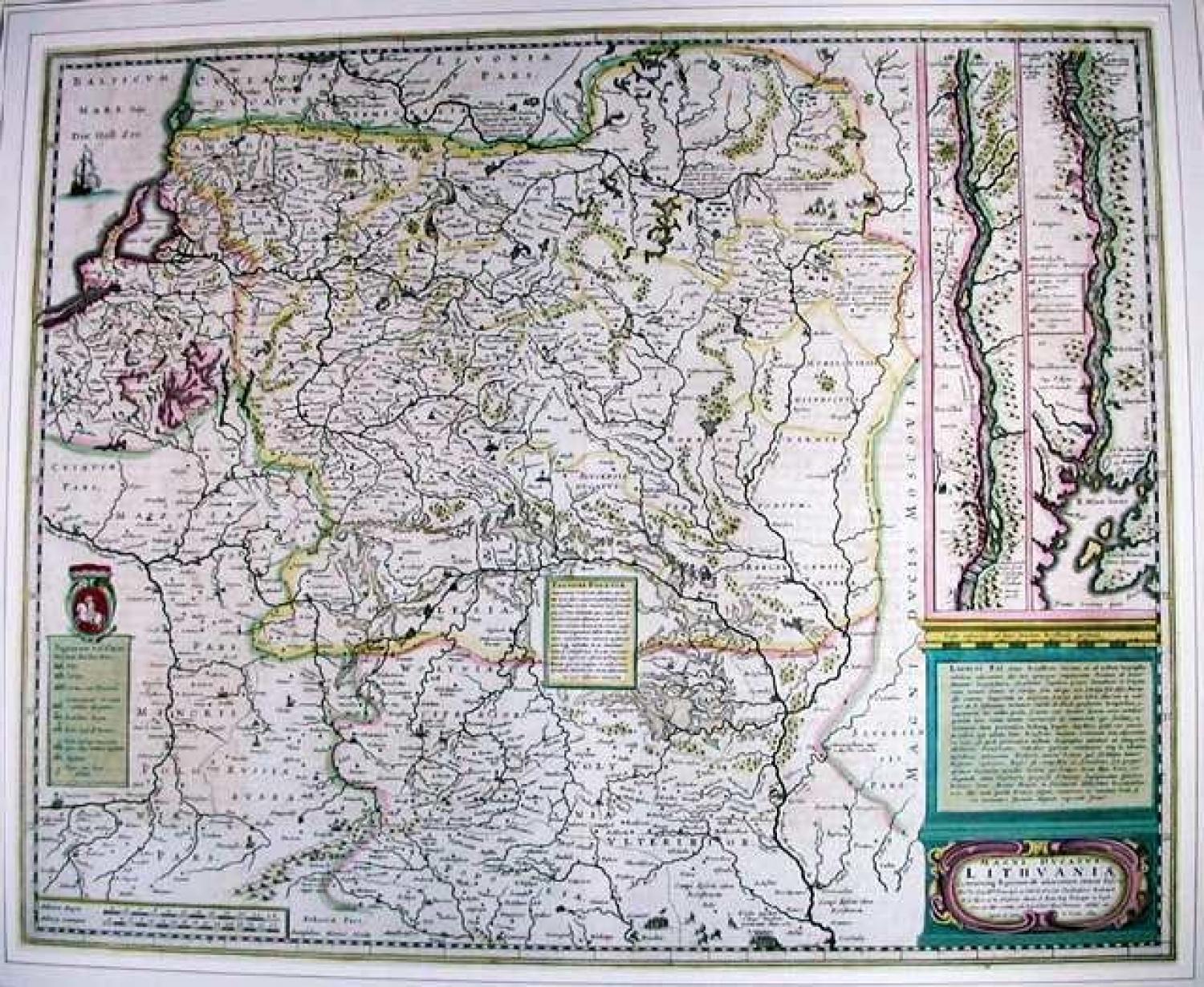
A beautiful antique map of 17th century Lithuania, incorporating present day Belarus and the Ukraine. The Commonwealth of Two Nations (Poland and Lithuania) stretched from the Baltic Sea in the north, to the Black Sea in the south. On the right of the map are two strips showing the course of the Dnieper River into the Black Sea. Derived from Blaeu's 4-sheet map published in 1613. On the verso a description, in French, of Lithuania.
References: Amsterdam, G Mercatoris et Hondii Atlas. IP K91/1