Tel +44 (0) 7764 165300 - Order by Phone / Online
You have ( 0 ) item(s) in your basketTel +44 (0) 7764 165300 - Order by Phone / Online
You have ( 0 ) item(s) in your basket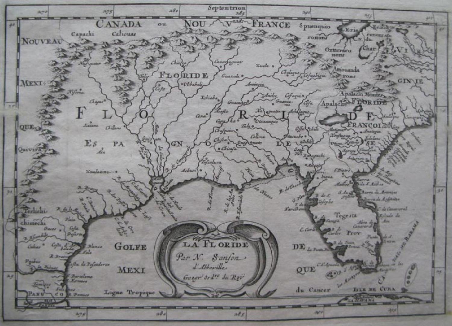
Code: 78497
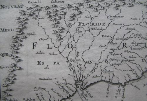
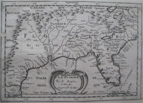
Title: 'La Floride'.
Important regional map with a number of early and important cartographic features. The first atlas map to correctily name Lake Erie, although it is pushed 2.5 degrees too far south, increasing the claims of France. Several new rivers appear. in Virginia. The Caroline listed is Ft. Caroline, not the Carolinas. The projection of the Southeast is improved over Sanson's folio map of the prior year. The Florida nomenclature is corrected from Sanson's North America. Most of the rest of the map is Chaves/Ortelius nomenclature. The Southwest is still largely unknown, as illustrated by the mislocation of the Mississippi and its course. The Mar Pequeno is after Gutierrez' map of 1562.
A strong print in very good condition, with a small repair (1 cm) to the top margin.