Tel +44 (0) 7764 165300 - Order by Phone / Online
You have ( 0 ) item(s) in your basketTel +44 (0) 7764 165300 - Order by Phone / Online
You have ( 0 ) item(s) in your basket
Code: JR1893
Date: 1720
Condition: AA
Colour: Hand colour
Size: 38 x 24 cms
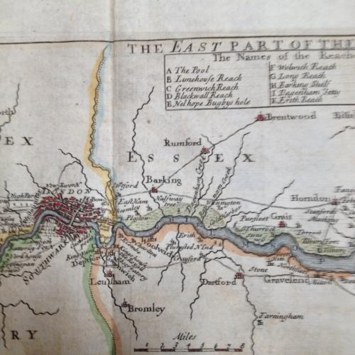
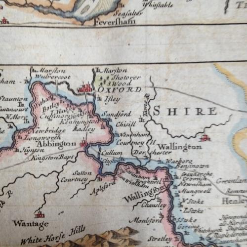
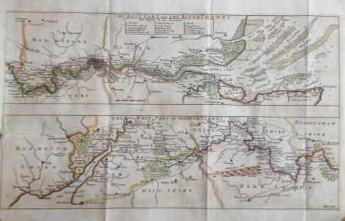
The title of this map of the course of the River Thames (from its spring in Gloucestershire to its estuary) runs along the top, with a scale bar at bottom centre and a key to docking reaches at top right. Geographical features and built-up areas are indicated by symbols, with the water soundings expressed in feet at various points of the estuary.