Tel +44 (0) 7764 165300 - Order by Phone / Online
You have ( 0 ) item(s) in your basketTel +44 (0) 7764 165300 - Order by Phone / Online
You have ( 0 ) item(s) in your basket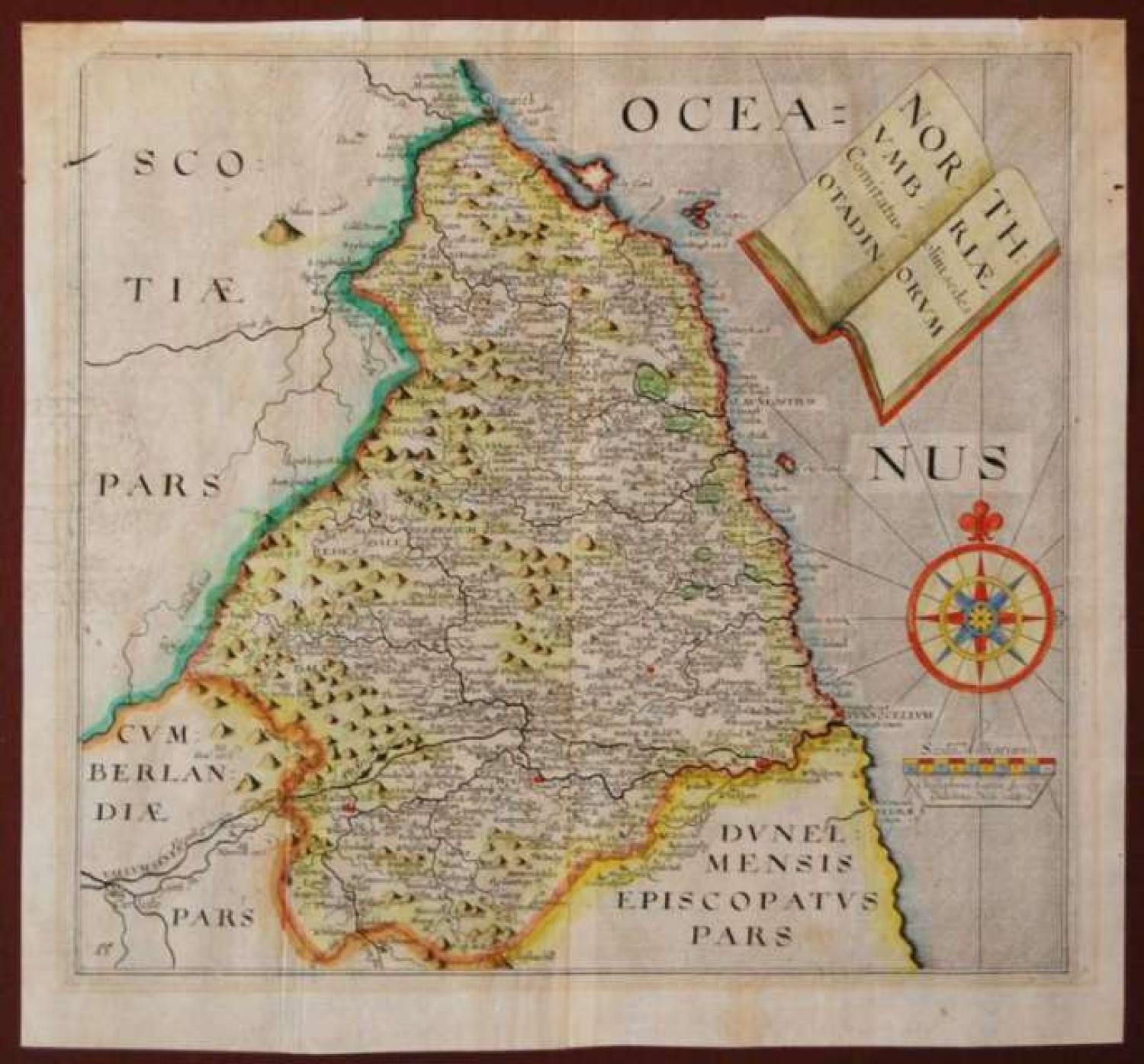
Code: 78262
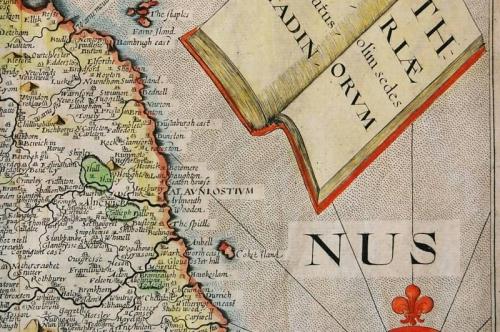
Title: Northumbriae Comitatus olim sedes Otadinorum
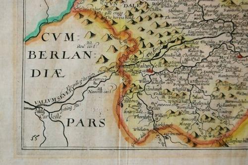
A map of Northmberland by Christopher Saxton, engraved by William Hole and published in the 1637 edition of William Camden's Britannia.
The map has an attractive open-book style decorative title and a large compass rose.
This series of maps were first published in Camden's Britannia in 1607 and are well engraved with numerous settlements and rivers marked. It is based on Christopher Saxton's earlier 1579 map of Northumberland.
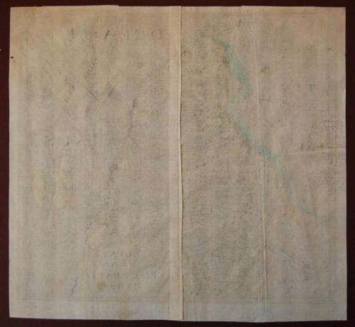
It has been hand coloured at some point in the last fifty years. The map is printed on laid paper with a large watermark.
Condition: Generally very good and ready for framing. There is the remnants of some tape at the upper edge where the map was once taped to a backing-board. There is some light creasing on the paper.