Tel +44 (0) 7764 165300 - Order by Phone / Online
You have ( 0 ) item(s) in your basketTel +44 (0) 7764 165300 - Order by Phone / Online
You have ( 0 ) item(s) in your basket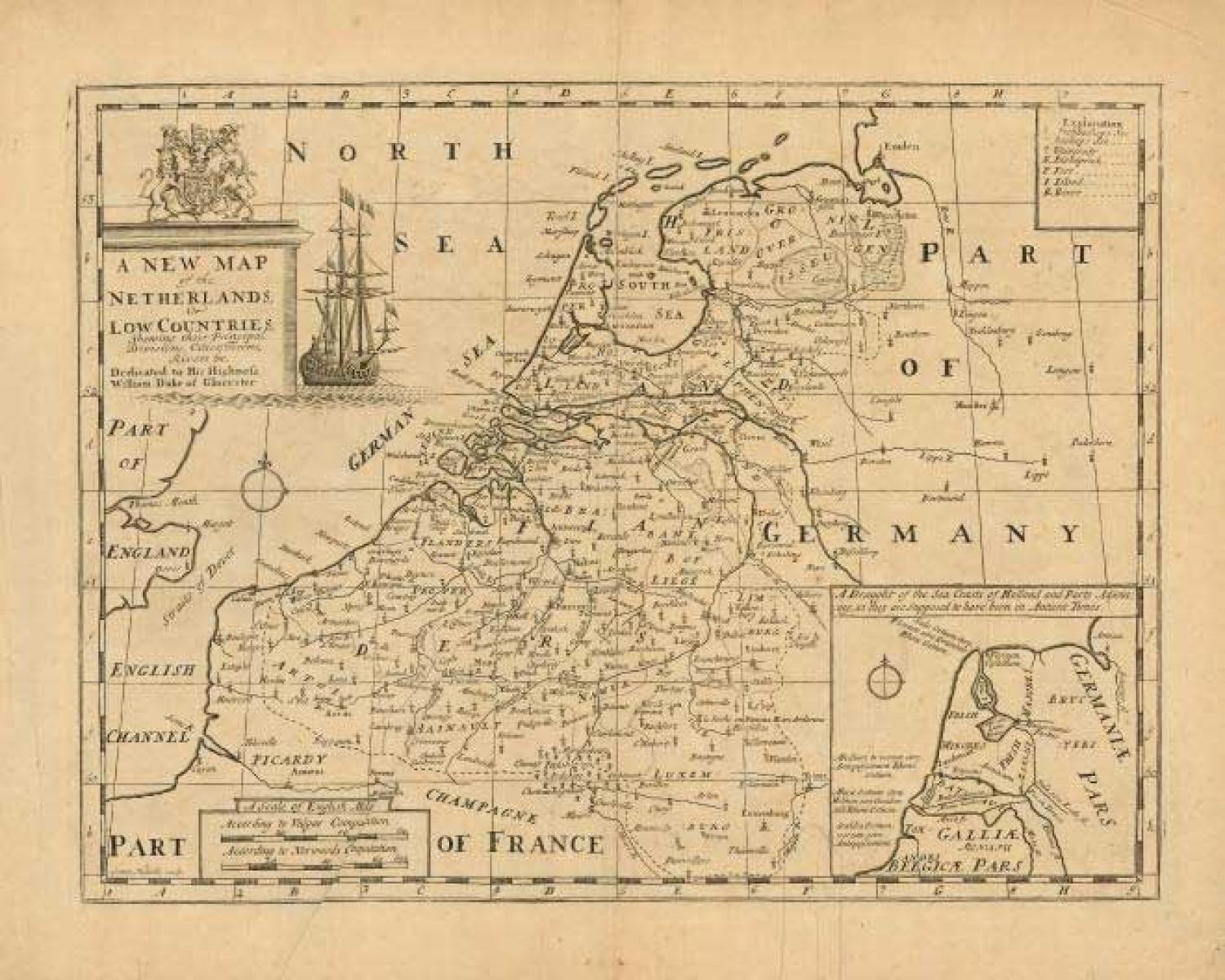
Code: 77058
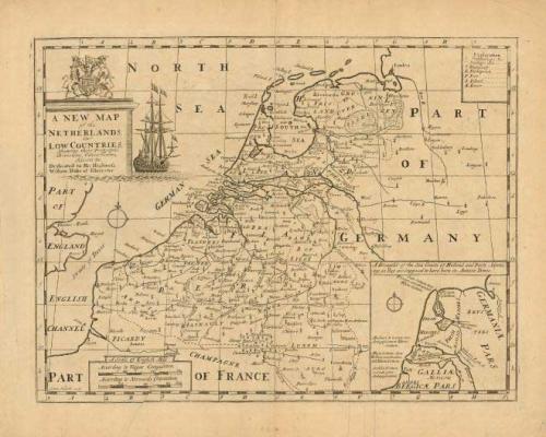
Title: 'A New Map of the Netherlands, or Low Countries, Shewing their Principal Divisions, Cities , Towns, Rivers &c.'
A fine map of the region with good detail throughout. There is an interesting inset of the coast of Holland in ancient times. The map is richly decorated with a large title cartouche featuring a large sailing ship and the coat of arms of the Duke of Gloucester, to whom the map is dedicated.
A good impression on hand laid paper with very wide margins. Remnants of hinging tape on back and a couple of printer's creases near the centerfold. Numerous short marginal tears, well away from map image.