Tel +44 (0) 7764 165300 - Order by Phone / Online
You have ( 0 ) item(s) in your basketTel +44 (0) 7764 165300 - Order by Phone / Online
You have ( 0 ) item(s) in your basket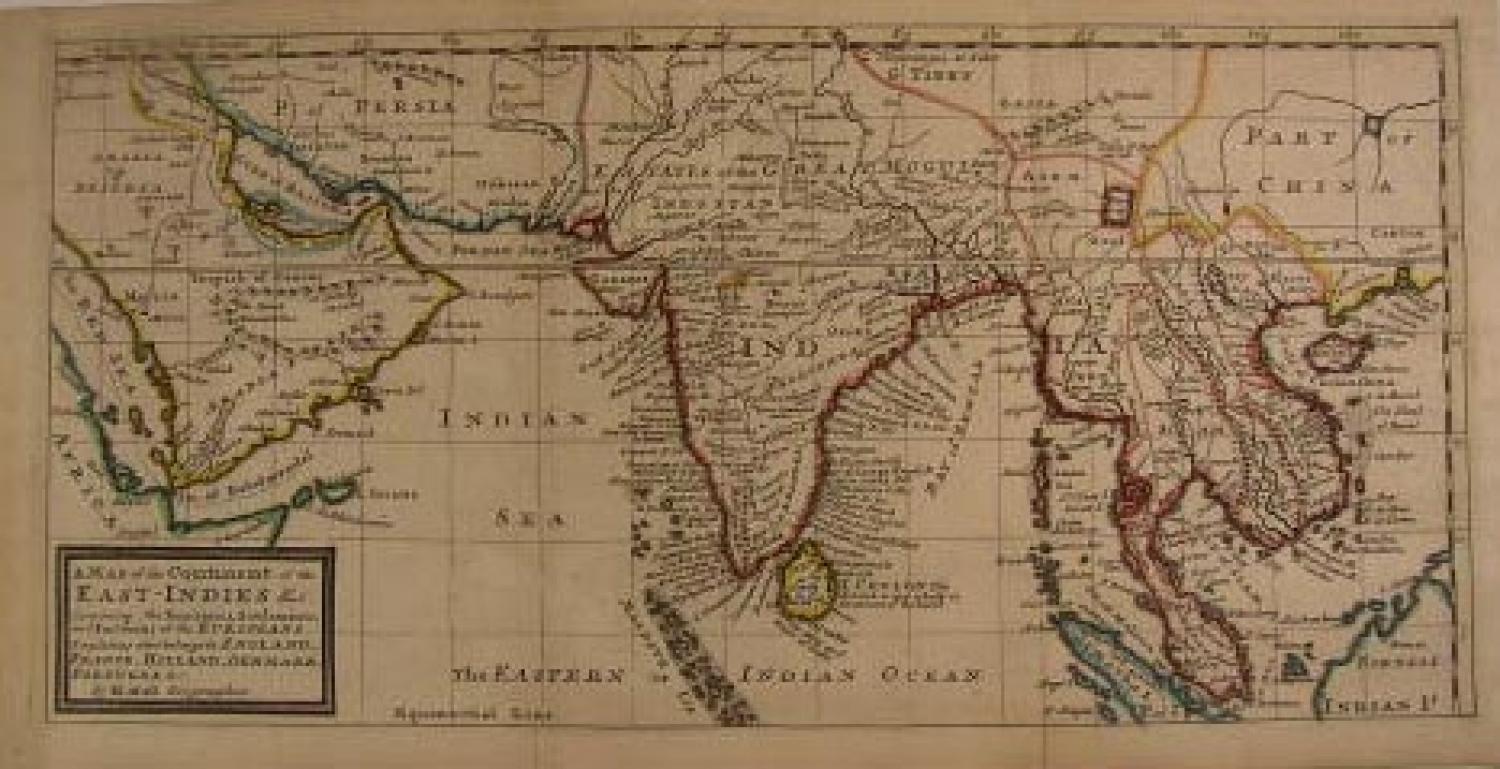
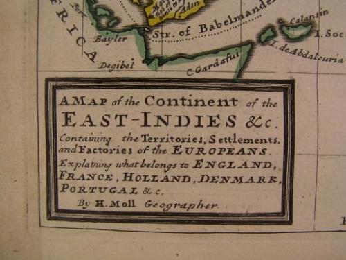
Code: 78429
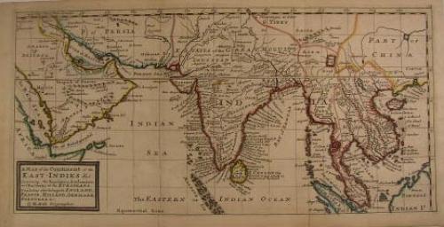
Map of the Continent of the East-Indies &c. Containing the Territories, Settlements, and Factories of the Europeans. Explaining what belongs to England, France, Holland, Denmark, Portugal, &c.
Issued London, 1732 by the Bowles for Herman Moll.
Fascinating 18th century engraved map with original outline hand color.
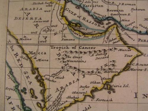
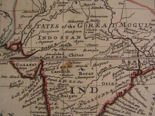
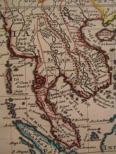
A fine depiction of the Arabian peninsula, with rivers, mountains, travel routes, watering locations, etc. A thin strip along the northern coast of the Gulf of Bassora is delineated and labelled as "Bahara to Por. Iulphar", a long strip of land called "Shader I(sland)" above it. Interesting interior details in Siam and SE Asia, locating for instance Lassa and "Pontala" in Tibet, etc.
In near VG, mostly clean condition. Some light minor marginal spotting and toning, old paper repair to bottom fold-line, couple minor fold-line splits mended with archival tape, but overall a very attractive example.
Fine example of this pleasing and uncommon Moll map.